
Toronto and Region Conservation Authority (TRCA) collects scientific data to understand the changes affecting natural areas and watercourses, and to assess the ecological health of specific regions or environmental features.
Quick Links


What’s New
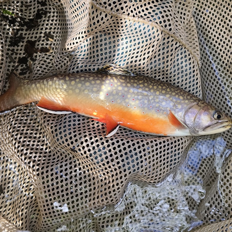
Fantastic Field Finds of 2025 – Fauna
TRCA biologists work year-round collecting data on the diversity of wildlife species in this region’s forests, wetlands, meadows, rivers, and lakes.
READ MORE
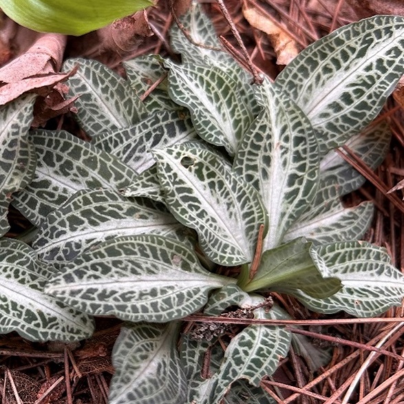
Fantastic Field Finds of 2025 – Flora
Meet some of the rare and unique plants and vegetation communities that TRCA biologists found in our watersheds in 2025.
READ MORE
Get Ecosystem Monitoring & Research Updates
Sign up to receive TRCA’s newsletter for updates about our ongoing science and research related to environmental monitoring, climate change and sustainability, watershed plans and studies, and water conservation and green infrastructure.
Watch Our Video Playlist