
Preserving and enhancing habitat connectivity – that is, enabling fish and aquatic species to move easily between habitats – is one of the keys to maintaining biodiversity in rivers and streams.
The Issue:
Barriers to Aquatic Species Movement
In linear networks, like rivers and creeks, fish and other aquatic organisms need to move freely to feed, reproduce, and survive winter conditions.
Allowing fish to move freely improves aquatic connectivity, supports healthy fish populations, enhances access to critical spawning and overwintering habitats, and strengthens overall ecosystem resilience.
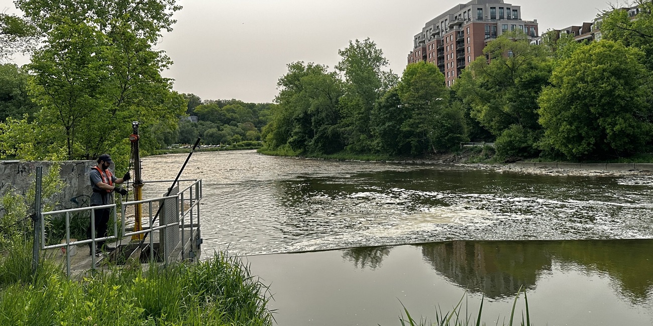
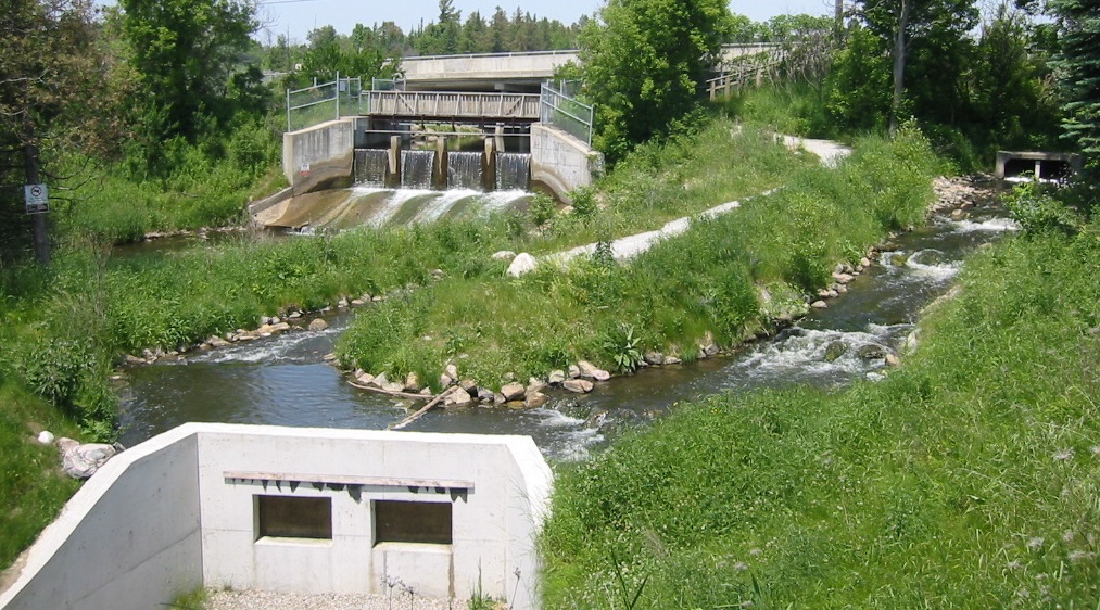
Toronto and Region Conservation Authority (TRCA) is working to improve aquatic connectivity across our watersheds by addressing instream barriers, such as instream ponds or dams/weirs, that block access to important habitats and disrupt aquatic ecosystems.
Instream barriers cause several issues within river systems:
- Habitat fragmentation
- Impaired water quality and altered temperatures
- Blocked fish migration between Lake Ontario and upstream headwaters
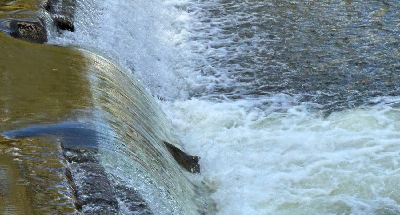
In some cases, barriers can be intentionally maintained to support aquatic habitat management.
These strategic barriers can help prevent the upstream movement of aquatic invasive species, such as Sea Lamprey (Petromyzon marinus) or Round Goby (Neogobius melanostomus), adding a level of protection against the establishment of potential invaders.
Key Focus Areas in
Aquatic Barriers and Fish Movement Research
TRCA’s applied research focuses on improving aquatic habitat connectivity by identifying, removing, or modifying instream barriers that prevent fish and other aquatic organisms from moving freely through waterways.
Through targeted restoration projects, strategic barrier mitigation, and collaboration with municipal and community partners, TRCA is reconnecting fragmented waterways to support long‑term watershed health.
Key areas of our work include:
1. Priority Analyses for Barrier Removal or Mitigation
We inspect and map instream barriers to identify where aquatic connectivity is most limited. This approach helps us determine which barriers should be modified or removed.
This process ensures that restoration efforts focus on locations where connectivity improvements will have the greatest ecological benefit.
Priority setting is further guided by Fisheries Management and/or Watershed Plans, which help determine which barriers should be addressed first based on their impact on aquatic habitat, native species, and/or ecosystem health.
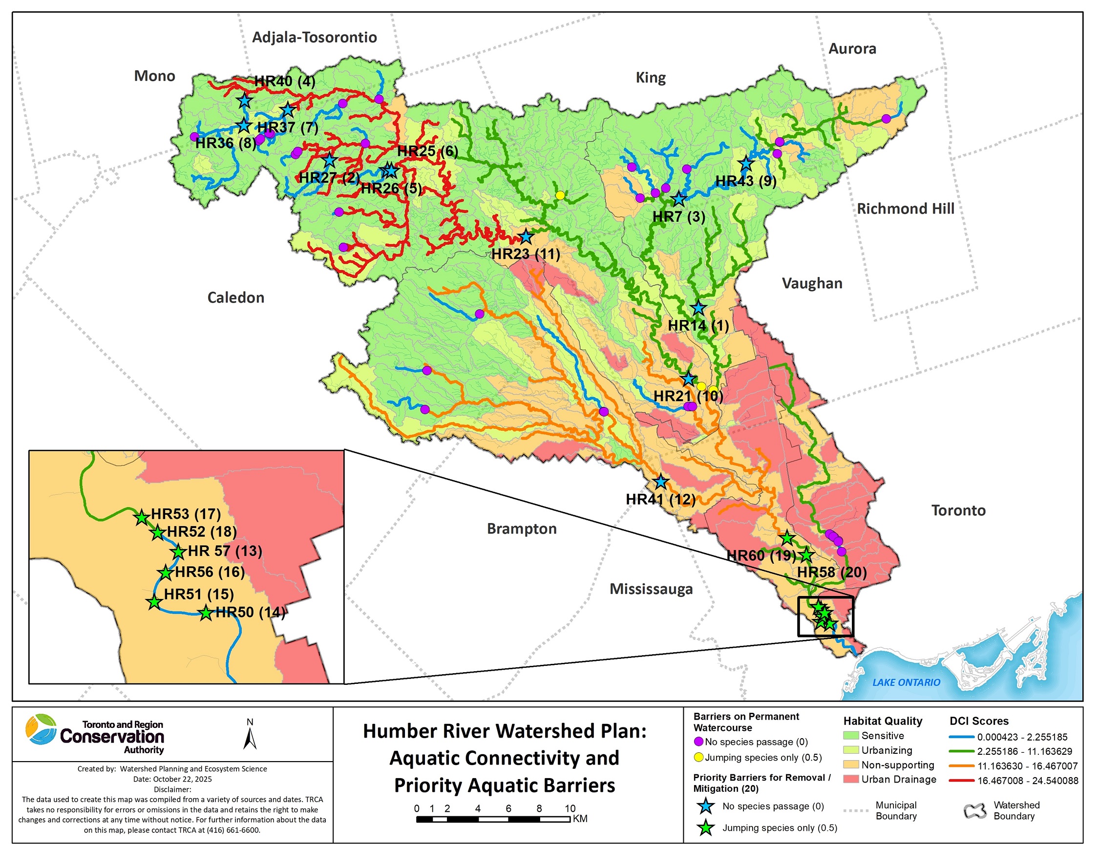
By considering the ecological needs of aquatic species within each system, we can make informed decisions that support:
- Freshwater mussel populations
- Control of invasive species, such as Sea Lamprey, Rusty Crayfish, and Round Goby
- Rare and sensitive species, such as Slimy Sculpin and Brook Trout
- Both migratory and resident fish populations
- Healthy native fish communities
- Species at risk, such as Redside Dace
- Natural thermal regimes (cold, cool, and warmwater systems)
2. Strategic Research
TRCA undertakes targeted applied research projects to better understand the seasonal habitat needs and movement patterns of fish to help guide conservation decision-making across our watersheds.
These studies provide critical insights into how fish use their environments and how aquatic connectivity influences their long-term survival.
Key examples include:
- Redside Dace Overwinter Habitat and Movement Study
- Evaluating the effectiveness of barriers as species partitions, both for the Rouge Fisheries Management Plan and for aquatic invasive species such as Sea Lamprey
- Tagging study for Town of Richmond Hill (Don River) to examine fish passability
- Testing of telemetry equipment used to track fish movement
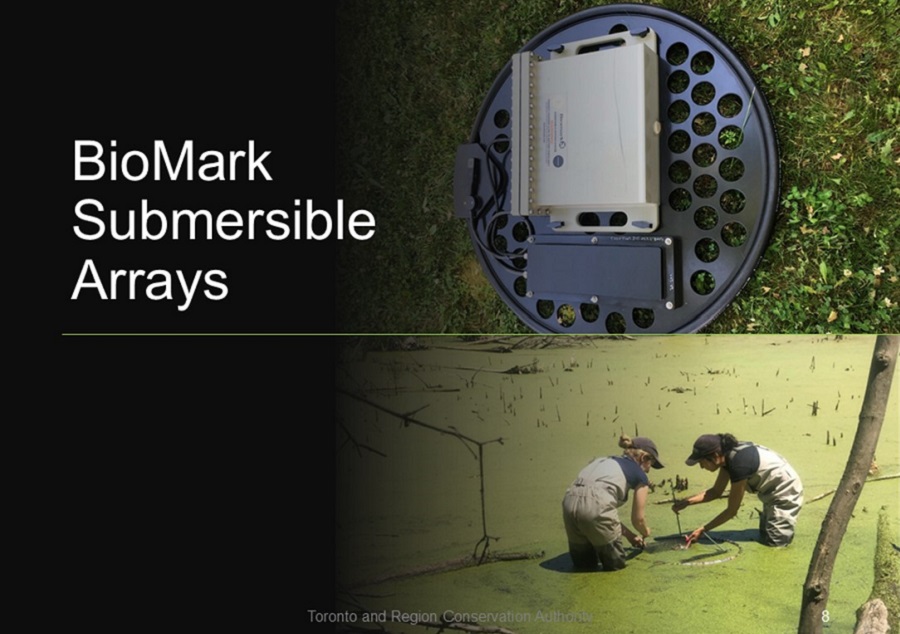
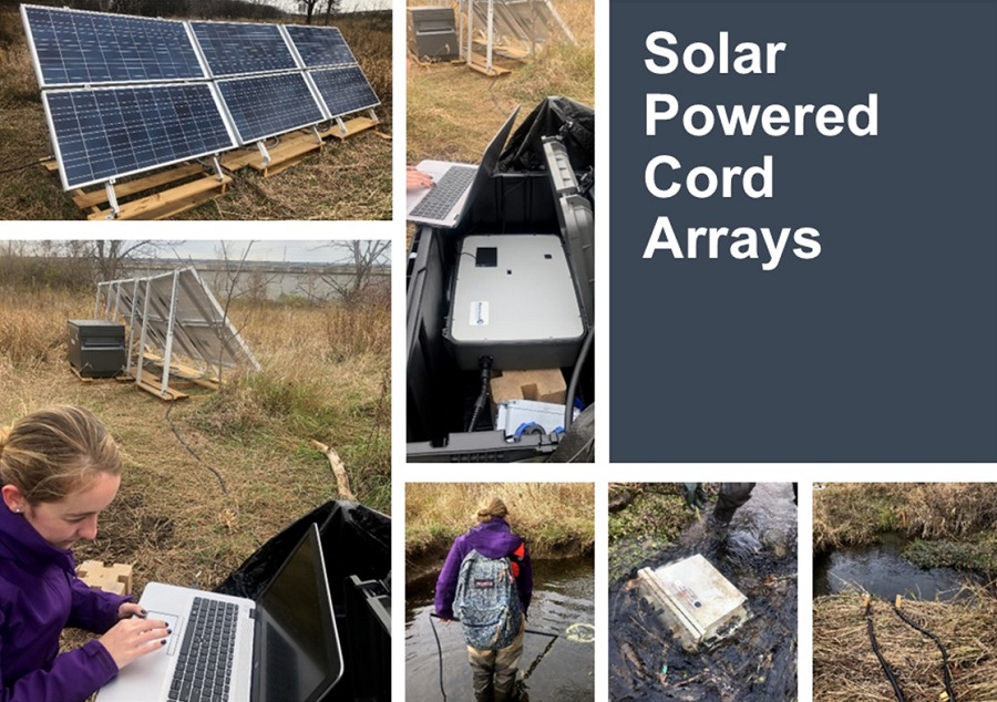
Different testing of telemetry equipment to establish effectiveness for aquatic connectivity studies.
3. Barrier Removal or Mitigation
TRCA restores aquatic ecosystems by removing or modifying instream barriers that disrupt natural water flow and fragment habitat.
These restoration projects reconnect upstream and downstream environments, supporting healthier, more resilient fish communities, enhancing biodiversity, and helping watersheds recover from historical impacts.
Each project is designed to restore natural channel function, improve hydrology, and create long‑term ecological benefits across the watershed.
Engaging Partners in Our Work
- Consultation with Municipal Partners and Private Sector: Collaborate to identify important barriers for removal, undertake studies to assess the level of impairment, or quantify the gains made from barrier removals or mitigation measures.
- Engagement with Academic Researchers: Partner with researchers to study seasonal fish movement patterns, habitat use, and connectivity.
- Support for Municipalities: Assist partner municipalities with the placement, design, and implementation of mitigation strategies to improve aquatic connectivity.
We are open to discussions with partners on any wildlife connectivity issues or opportunities for research and mitigation implementation in areas of concern across the jurisdiction.
Resources
- Choy, M. & Lawrie, D. & Edge, C. (2018). Measuring 30 years of improvements to aquatic connectivity in the Greater Toronto Area. Aquatic Ecosystem Health & Management. 21. 1-21.
- Scenario Analysis for Etobicoke Creek and Humber River Watershed Plans
- Humber River Fisheries Management Plan (2005)
- Fisheries Management Plan for Duffins Creek and Carruthers Creek (2004)
- Rouge River Watershed Fisheries Management Plan (2010)
- Etobicoke Creek: The Aquatic Ecosystem (2006)
- Etobicoke Creek Watershed Fisheries Management Plan: Detailed Implementation Chapter (2011)
Contact
TRCA Watershed Planning and Ecosystem Science: wpes@trca.ca