Humber River Watershed Plan: Project Update
October 3, 2025
Thank you to everyone who completed our Spring 2025 engagement survey! Your input will help inform the development of the management framework for the watershed plan, including the priority actions needed to address the key watershed issues.
The Engagement Summary 2 Has Now Been Prepared
This document provides an overview of engagement activities conducted for the Humber River Watershed Plan between November 2023 and August 2025 (to the end of the Future Management Scenarios stage of the watershed planning process), including the results of the Spring 2025 engagement survey.
Next Steps (2025-2026)
Work on the Implementation Planning stage of the watershed planning process (Stage 4) is currently underway.
We will be collaborating with Mississaugas of the Credit First Nation and our partner municipalities to develop a realistic management framework for the watershed plan, including priority actions to protect, enhance, and restore watershed health.
The management framework will be informed by the watershed characterization and scenario analysis results, and by engagement input.
We’ll also develop the draft watershed plan and will be looking for your input at our next engagement sessions in 2026! The engagement details will be provided here on the project webpage.
Please email us at Humber@trca.ca with any questions or information you would like to share as we continue to develop the HRWP.
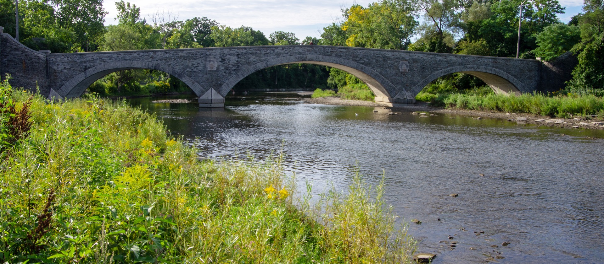
Toronto and Region Conservation Authority (TRCA) is working on a new watershed plan for the Humber River in collaboration with Mississaugas of the Credit First Nation and our partner municipalities.
STAY INFORMED – SUBSCRIBE FOR UPDATES
Since the last watershed plan in 2008, the Humber River watershed has continued to experience impacts from urban development and climate change.
This new plan will use the most up-to-date scientific data, modelling, and analyses to understand the current conditions of the watershed and predict how they might change in the future based on potential land use and climate scenarios, as well as different levels of watershed enhancements.
It will also suggest ways to protect, enhance, and restore the health of the watershed and make it more resilient to changes in land use and climate.

The plan is intended to be in effect for 10 years from when it is finalized and approved.
Watershed plans are reviewed regularly for 10 years after approval so that new scientific approaches can be included, and to deal with new issues that may come up.
The development of the Humber River Watershed Plan is a joint effort between TRCA and the following:
TRCA is also working closely with First Nations and Indigenous communities, local stakeholders, residents, and the public to share information about the watershed plan and gather feedback.
Watershed Plan Timeline
Watershed planning is a multi-year, highly collaborative process. The proposed timeline for the preparation of the Humber River Watershed Plan is outlined below.
Stage 1: Preparation and Scoping 2022 – COMPLETED
PURPOSE:
- Initial scoping, review of existing data, final data collection, and preparation of preliminary mapping resources.
- Initiation of communications with First Nations and Indigenous communities, identification of Steering Committee, and development of an Engagement Strategy.
STATUS:
| Completed. |
Stage 2: Watershed Characterization 2022-2023 – COMPLETED
PURPOSE:
- Technical analyses identify the current conditions and trends of the watershed, including habitat quality and quantity, water quality, flooding and erosion issues, stormwater management infrastructure, restoration planning, climate trends, and cultural heritage.
- Based on this information, key issues in the Humber River watershed are outlined in the Characterization Report and Factsheet.
STATUS:
| Completed. |
Stage 3: Future Management Scenarios 2024-2025 – COMPLETED
PURPOSE:
- Compare and examine potential future land use and climate change scenarios and different levels of watershed enhancements to understand how watershed conditions may change.
- Scenario analysis does not result in land use decisions but informs the management framework and priority actions, as well as decisions concerning future land use and infrastructure development.
- The key results and findings from scenario analysis are outlined in the Future Management Scenarios Analysis Report and Factsheet.
STATUS:
| Completed. |
Stage 4: Implementation Planning 2025-2026 – IN PROGRESS
PURPOSE:
- Development of a practical management framework for long-term sustainability based on results from the Watershed Characterization and Future Management Scenarios stages and input from engagement.
- The management framework includes goals, objectives, indicators, and priority actions outlining how to protect, enhance, and restore watershed health.
- Monitoring and evaluation will help to track implementation progress and evaluate whether watershed conditions are improving.
- The implementation planning stage will also involve the development of the draft watershed plan, and engagement to obtain input from First Nations and Indigenous communities, as well as from watershed stakeholders, residents, and the public.
- Implementation of the plan will occur following adoption/endorsement of the final plan by our municipal partners and TRCA’s Board of Directors.
STATUS:
| In progress. |
Learn More
Discover more about watersheds and watershed management by visiting TRCA’s Watershed Management webpage.
You can explore the ecological and cultural significance of the Humber River by visiting our Humber River webpage.
For an interactive and engaging experience, please visit TRCA’s Watershed Planning Hub. This digital tool offers an in-depth look at current watershed plans, including the Humber River Watershed Plan, through maps, images, and narrative text.

Resources
Current Watershed Plan
Frequently Asked Questions:
Launch of the New HRWP:
Characterization Stage:
- Watershed Characterization Report: Findings from watershed monitoring and technical analyses, and an overview of the current watershed conditions and trends since the last watershed plan in 2008.
- Characterization Factsheet: Key messages from watershed characterization
- Engagement Summary 1: Engagement activities from May 2022 to October 2023, including the Fall 2022 initial engagement activities and survey results.
Future Management Scenarios Stage:
- Future Management Scenarios Analysis Report: Findings from extensive watershed modelling and technical scenario analyses. This report examines the impacts of a range of potential future land use and climate change scenarios, along with varying levels of watershed enhancements, to help us understand how future watershed conditions may change.
- Future Management Scenarios Factsheet: Key messages from scenario analysis.
- Engagement Summary 2: Summary of engagement activities throughout the future management scenarios stage (including the Spring 2025 survey results).
- Spring 2025 Engagement Presentation
Previous Watershed Plan – 2008
Contact Us
If you have any questions or information about the Humber River Watershed Plan, please email us at humber@trca.ca.
