The Etobicoke Creek Watershed Plan (ECWP) 2024-2034 was approved by the Toronto and Region Conservation Authority (TRCA) Board of Directors on November 22, 2024, and was adopted/endorsed by our partner municipalities. Implementation of the watershed plan is now underway.
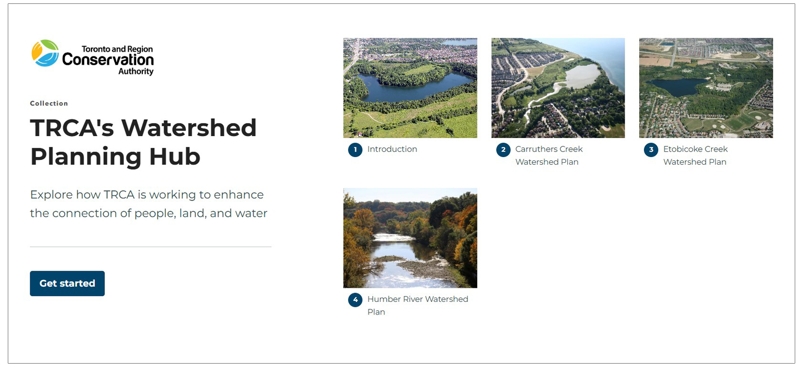
You can explore the online, interactive Etobicoke Creek Watershed Plan and a map viewer with useful mapping layers (and priority areas) on our new Watershed Planning Hub.
EXPLORE THE WATERSHED PLANNING HUB
You can also visit TRCA’s Watershed Plan Implementation Tracking Hub to see how we are putting the Etobicoke Creek Watershed Plan into action.
The new Etobicoke Creek Watershed Plan (ECWP) outlines current and potential future watershed conditions and identifies the priority actions needed to protect, enhance, and restore watershed health.
These actions also aim to improve community well-being over the long term, build resilience to land use and climate changes, and inform decision-making within the watershed.
The development of the ECWP was a joint effort between TRCA and the following:
- Mississaugas of the Credit First Nation
- Greater Toronto Airports Authority
- City of Brampton
- City of Mississauga
- City of Toronto
- Peel Region
- Town of Caledon
TRCA also worked closely with additional First Nations and Indigenous communities, local stakeholders, residents, and the public to share information about the watershed plan and to gather feedback.

The ECWP will be in effect for 10 years from 2024 to 2034. Watershed plans are reviewed regularly for 10 years after approval so that new scientific approaches can be included, and to deal with new issues that may come up.
To achieve the vision for the watershed, a comprehensive, coordinated, and collaborative approach will be essential to effectively implement, track, and report on plan implementation.
An Implementation Steering Committee with representatives from the above groups will guide and support implementation.
STAY INFORMED – SUBSCRIBE FOR UPDATES
Watershed Plan Timeline
Watershed planning is a multi-year, highly collaborative process. The timeline for the preparation of the Etobicoke Creek Watershed Plan is outlined below.
Stage 1: Preparation and Scoping 2020 – COMPLETED
PURPOSE:
- Initial scoping, review of existing data, final data collection, and preparation of preliminary mapping resources.
- Initiation of communications with First Nations and Indigenous communities, identification of Steering Committee, and development of an Engagement Strategy.
STATUS:
| Completed. |
Stage 2: Watershed Characterization 2020-2021 – COMPLETED
PURPOSE:
- Technical analyses identify the current conditions and trends of the watershed, including habitat quality and quantity, water quality, flooding and erosion issues, stormwater management infrastructure, and restoration planning.
- Based on this information, key issues in the Etobicoke Creek watershed are outlined in the Characterization Report.
STATUS:
| Completed. |
Stage 3: Future Management Scenarios 2021-2022 – COMPLETED
PURPOSE:
- Compare and examine potential future land use and climate change scenarios and different levels of watershed enhancements to understand how watershed conditions may change.
- Scenario analysis does not result in land use decisions but informs the management framework and priority actions, as well as decisions concerning future land use and infrastructure development.
- The key results and findings from scenario analysis are outlined in the Future Management Scenarios Analysis Report.
STATUS:
| Completed. |
Stage 4: Implementation Planning 2022-2024 – COMPLETED
PURPOSE:
- Development of a practical management framework for long-term sustainability based on results from the Watershed Characterization and Future Management Scenarios stages and input from engagement.
- The management framework includes goals, objectives, indicators, and priority actions outlining how to protect, enhance, and restore watershed health.
- Monitoring and evaluation helps to track implementation progress and evaluate whether watershed conditions are improving.
- The implementation planning stage also involves the development of the draft watershed plan, and engagement to obtain input from First Nations and Indigenous communities, as well as from watershed stakeholders, residents, and the public.
- You can find out more information about the ECWP management framework and implementation by visiting our Watershed Planning Hub.
STATUS:
| Completed. |
Learn More
Discover more about watersheds and watershed management by visiting TRCA’s Watershed Management webpage.
You can explore the ecological and cultural significance of the Etobicoke Creek by visiting our Etobicoke Creek webpage.
For an interactive and engaging experience, please visit TRCA’s Watershed Planning Hub. This digital tool offers an in-depth look at current watershed plans, including the Etobicoke Creek Watershed Plan, through maps, images, and narrative text.
Resources
CURRENT WATERSHED PLAN
Technical Reports:
- Approved Etobicoke Creek Watershed Plan 2024-2034 – November 2024
- Draft Etobicoke Creek Watershed Plan – July 2023
- Etobicoke Creek Watershed Future Management Scenario Analysis Report – July 2022
- Etobicoke Creek Watershed Characterization Report – June 2021
Engagement Summaries:
- Etobicoke Creek Watershed Plan: Engagement Summary 4 – End March 2024-December 2024
- Etobicoke Creek Watershed Plan: Engagement Summary 3 – August 2022-March 2024
- Etobicoke Creek Watershed Plan: Engagement Summary 2 – July 2021-July 2022
- Etobicoke Creek Watershed Plan: Engagement Summary 1 – July 2020-June 2021
- Etobicoke Creek Watershed Plan: Fall 2023 Engagement:
- Etobicoke Creek Watershed Plan: Spring 2022 Engagement:
General References:
- Etobicoke Creek Watershed Plan: FAQ Document (2024)
- Etobicoke Creek Watershed Plan: Highlights Video (2024)
- Etobicoke Creek Watershed Plan: Fact Sheet (2024)
- Etobicoke Creek Watershed Plan: Management Framework (2024)
- Draft Etobicoke Creek Watershed Plan: Fact Sheet (July 2023)
PREVIOUS WATERSHED PLAN
Contact Us
If you have any questions about the ECWP or its implementation, please email us at etobicoke@trca.ca