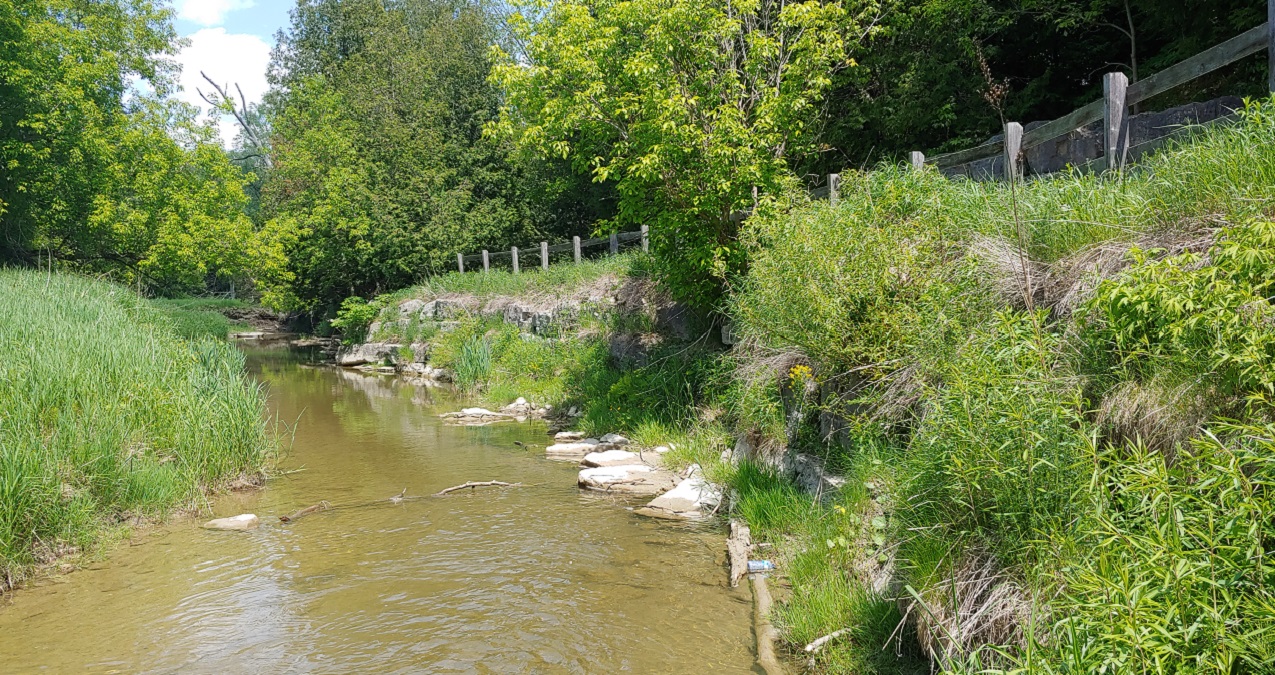
Toronto and Region Conservation Authority (TRCA) has completed maintenance of an existing erosion control structure known as HR72.1, which is located along a section of the East Humber River.
The work addressed trail safety concerns along the section of the William Granger Greenway Trail indicated in the map below.
This project was funded in part by Infrastructure Canada’s Disaster Mitigation Adaptation Fund, as part of the Toronto Region Ravine Erosion Mitigation Project.
Project Location

Scope of Work
- Construction Start Date: July 2025
- Construction Completion Date: August 2025
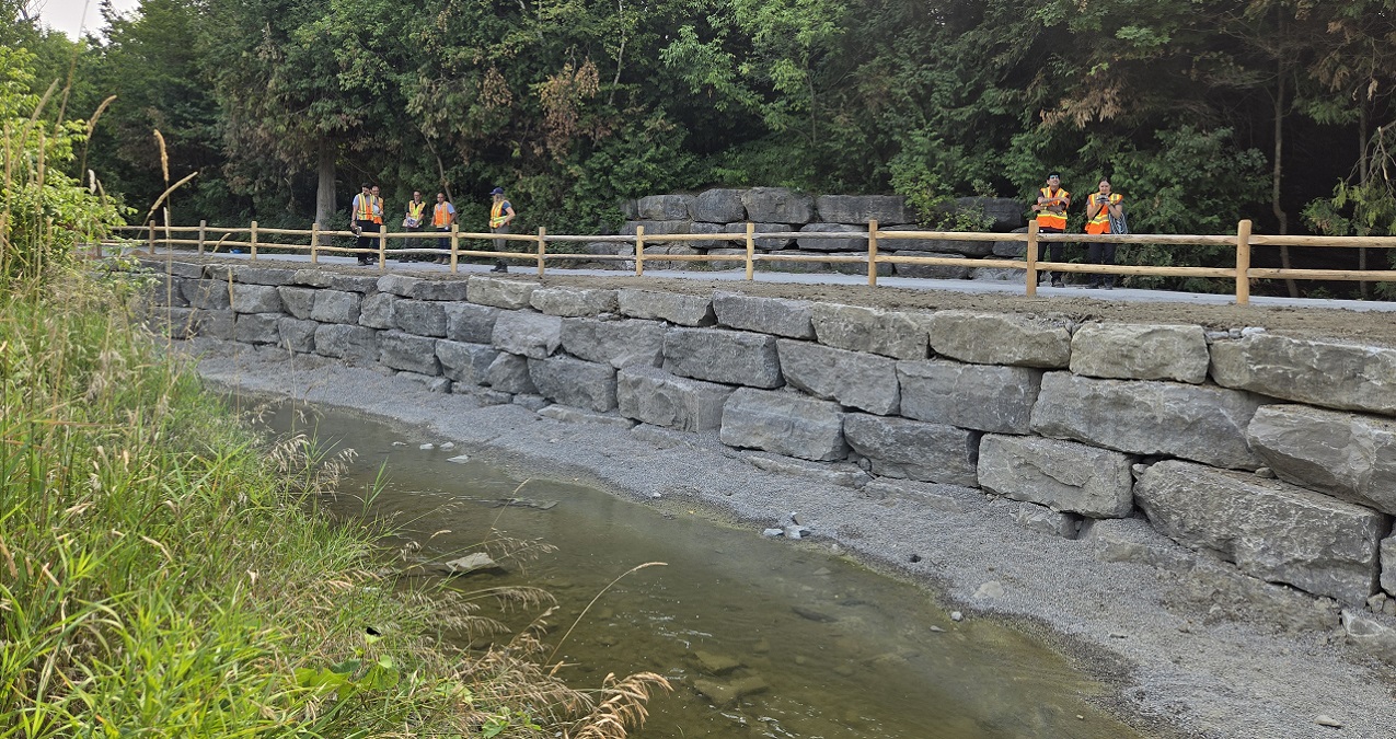
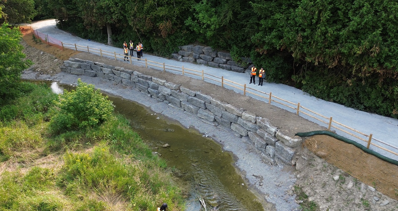
The goal of the project was to protect a section of the William Granger Greenway Trail from erosion by replacing the existing failing erosion control structure with a combination of armourstone wall and vegetated rock buttresses.
The general scope of the project included the following:
- Removal of the existing failing armourstone wall
- Installation of a new armourstone wall and vegetated rock buttresses as per detailed designs
- Installation of habitat features for native wildlife, including woody debris which provides cover for aquatic species
- Post-construction site restoration with native vegetation plantings and trail repairs as required