BOLTON’S GROWTH:
Promise and Challenges
For generations, Indigenous nations have lived in relationship with the land, guided by principles of sustainability, reciprocity, and balance.
No being lives in isolation: each is part of a larger web of relationships that includes the land, waterways, animals, plants, and even the inanimate elements of the world. The waterways, forests, and fields that shape Bolton’s landscape have long been sources of life, movement, and connection.
With the rise of industrialization and urban expansion, however, these landscapes have undergone dramatic change. Natural systems have been altered, and long-held ways of living in balance with the land have been challenged, placing strain on relationships that were once maintained with care and mutual responsibility.
Connaught Crescent was first surveyed in 1912, but construction didn’t begin until 1967, when Bolton was experiencing rapid growth.
With a train station already in place, a new airport linking the region with the rest of the world, and increasing connections to Toronto through the highways, the town was poised to become an industrial hub.
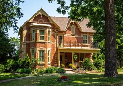
The mid-century modern homes built along Connaught Crescent reflect a shift from rural to suburban living during the 1950s and 1960s, moving away from rural residential homes toward a design more suited for a growing industrial middle class.
Hiding the Creek: Disconnecting Jaffary’s Creek
While Bolton’s expansion brought jobs, community programs, and gathering spaces, it also reshaped the natural environment.
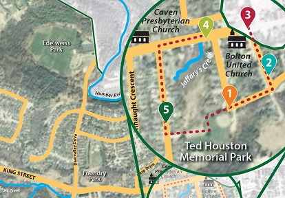
The development of Connaught Crescent and surrounding areas buried much of Jaffary’s Creek, leaving only the two disconnected segments visible today: one running above ground between Coleraine Drive and Station Road, and another flowing above ground between Connaught Crescent and King Street West.
The rest of the creek has been buried underground in pipes and sewers that discharge to the Humber River.
Rising Waters
Urbanization increases the risk of erosion and flooding.
As greenspaces disappear, natural water absorption is reduced. Concrete, brick, and asphalt surfaces prevent water from seeping into the ground. During heavy rain or snow melting events, water flows over land and/or through sewers and discharges directly into waterways.
In the area surrounding Connaught Crescent, stormwater runoff flows into the above-ground segment of Jaffray’s Creek between Connaught Crescent and King Street West, which is still visible today.
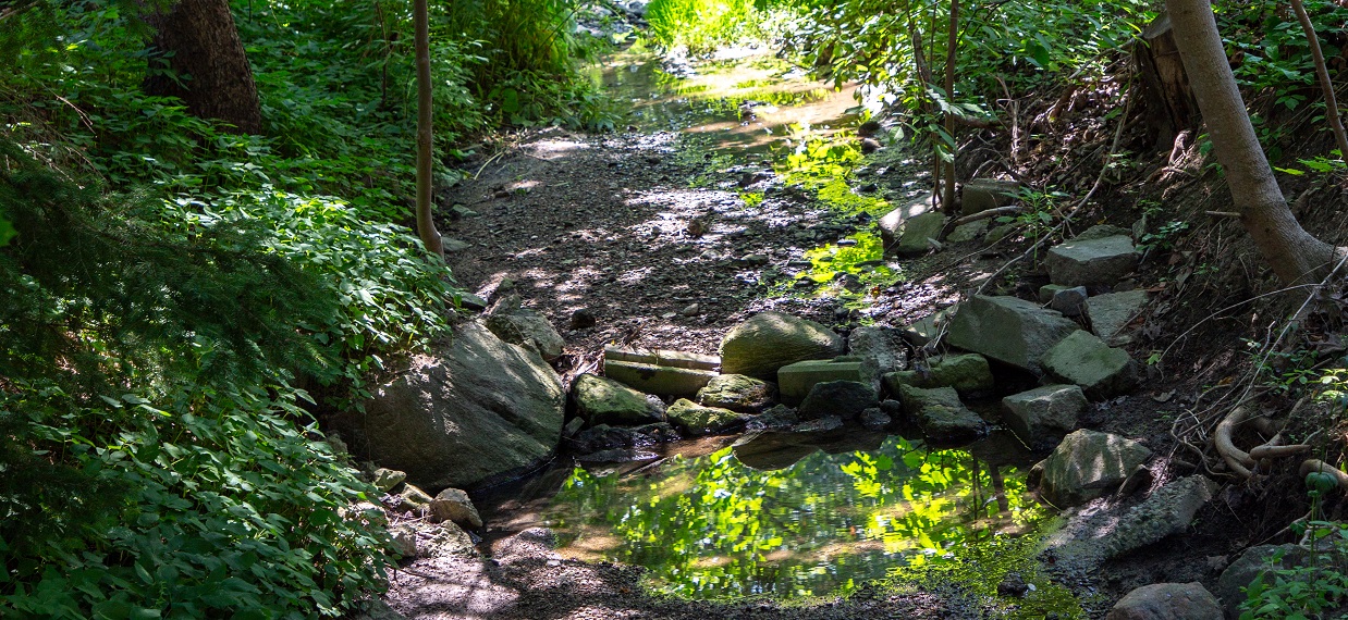
This segment of Jaffary’s Creek experienced significant erosion issues due to the volume and speed of runoff during storm events.
While the Town of Caledon completed stream remediation work along the creek (See Stop 5 to learn more), residents living near this segment can continue to support the health of Jaffary’s Creek by helping rainwater falling on their property to seep into the ground.
What Can Individuals Do?
There are many ways to help restore and protect Jaffary’s Creek and other waterways. Follow the links below for resources from Toronto and Region Conservation Authority (TRCA) that can help you to put these strategies into action!
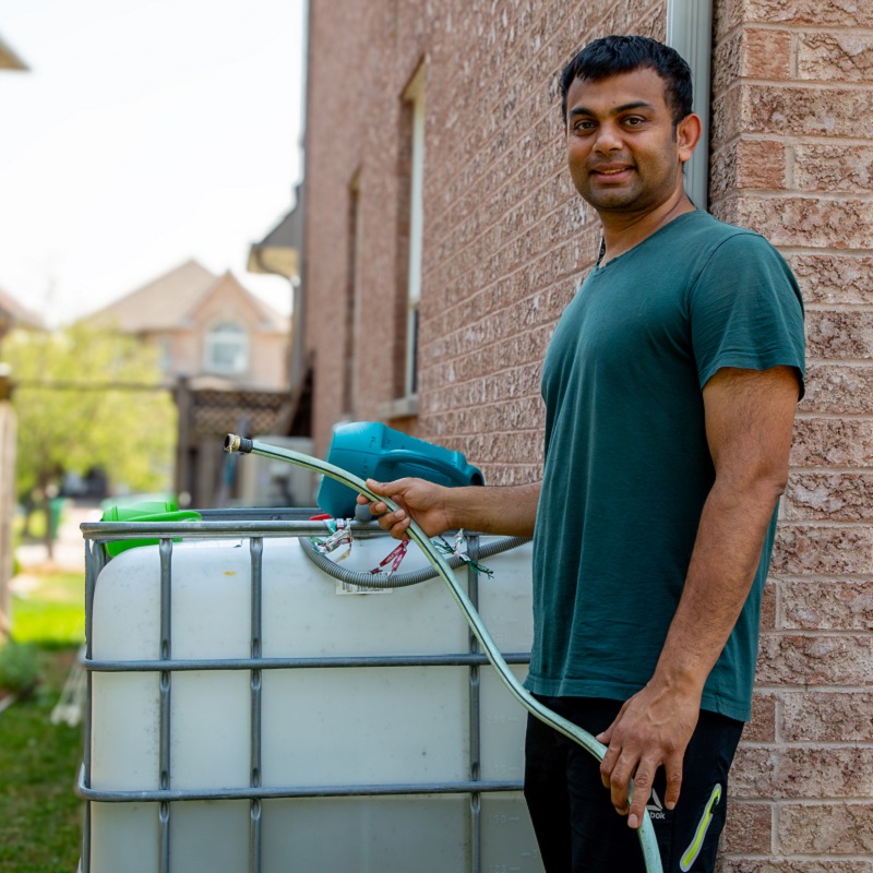
- Install a rain barrel to capture excess rainwater and reduce runoff.
- Use permeable materials for driveways and walkways to allow rain and snowmelt to absorb into the ground.
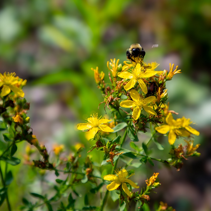
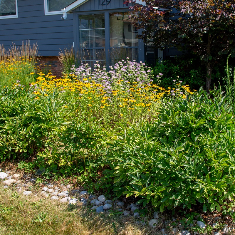
- Plant a rain garden like the one at the Adam Wallace Memorial Park. These gardens capture and infiltrate rainwater and reduce runoff while supporting pollinators and biodiversity.
- Increase green spaces in yards and public areas to strengthen natural water absorption.
Indigenous Perspectives on Water
For Indigenous peoples, water (Nibi in Anishinaabemowin) is a living entity, carrying history, memory, and responsibility. As Ogamauh annag (Sue Chiblow) explains, “Water is alive, it provides life and can take life … water carries our ancestors’ memories.”
This worldview contrasts with colonial approaches that have treated water as something to be controlled, redirected, or buried beneath development.
The transformation of waterways like Jaffary’s Creek reflects broader patterns of environmental change, where urban landscapes have often disregarded the natural flow of water to make way for expansion.
As history has shown, altering natural water systems can lead to negative consequences. Local issues such as erosion and flooding in Jaffary’s Creek highlight the need to respect and protect these systems.
By combining nature-based solutions and processes with Indigenous perspectives on water stewardship, we can take meaningful steps toward restoring the relationship between people and the land.
By embracing these perspectives, we also improve the local environment, strengthen resilience to climate impacts, and create a healthier, more sustainable community.
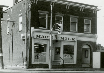
Archival Spotlight
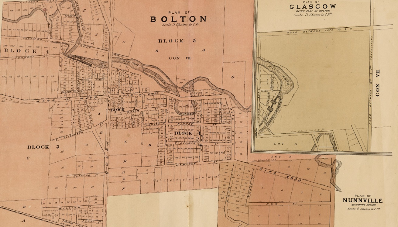
The origins of Connaught Crescent’s name remain uncertain. A 1975 feature in the Bolton Enterprise attributed the name to the Duke of Connaught, Canada’s Governor General from 1911-1916.
However, another account suggests that a student competition led to the street being named after Connaught Laboratories, a research facility that played a key role in public health advancements, including the production of insulin and polio vaccines.
Connaught Labs eventually purchased a 300-acre farm outside Bolton, where researchers worked to develop disease-free pigs.
Facing opposition from the local farming community, the lab abandoned the project, and the land was sold, but the street name remained as a reminder of the farm lab’s brief presence.
What other stories and connections might be hidden in the names of our streets?