For over a decade Toronto and Region Conservation Authority (TRCA) has been using a unique strategy in the protection of natural heritage systems within the regional watersheds.
All flora and vertebrate fauna species as well as vegetation communities found in TRCA’s nine watershed areas have been assigned a rank based on scores that measure their local abundance as well as their sensitivity to development impacts. The goal of this ranking system is to proactively identify species at risk of becoming rare, threatened or locally extinct (i.e. extirpated).
The Issue
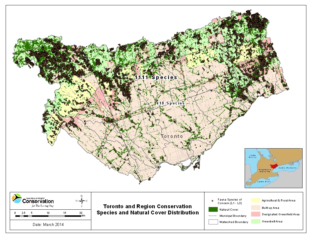
In the late 1990s, TRCA biologists observed a distinct difference in the types of species that were found in the urban core versus the more rural northern portions of the jurisdiction. Of the 1111 native flora and fauna species found within TRCA’s watersheds, 418 are no longer found in the urban zone.

It was recognized that unless a different approach was taken, the continual loss of natural cover and changes to surrounding land-use in urbanizing areas would further exacerbate the loss of biodiversity occurring region-wide.
A system of ranking and scoring species was thereby designed to proactively identify the conservation needs and priorities of the region’s plants and animals, linking their needs to planning and land management decisions at the local and regional level.
Based on this usage of a local ranking and scoring approach, 693 species in TRCA’s jurisdiction are now designated as Regional Species of Conservation Concern.
How It Works
The ranking system consists of five ranks, L1 to L5, that are based on the following scoring criteria:
| Parameter | Scoring Criteria |
| Vegetation Communities |
|
| Flora Species |
|
| Fauna Species |
|
| L-Rank Assignments | Level of Conservation Concern in TRCA Region |
| L1 to L3 | Considered to be of ‘regional concern’ |
| L4 | Considered to be of ‘urban concern’ |
| L5 | Considered to be ‘not of concern’ |
Its Application
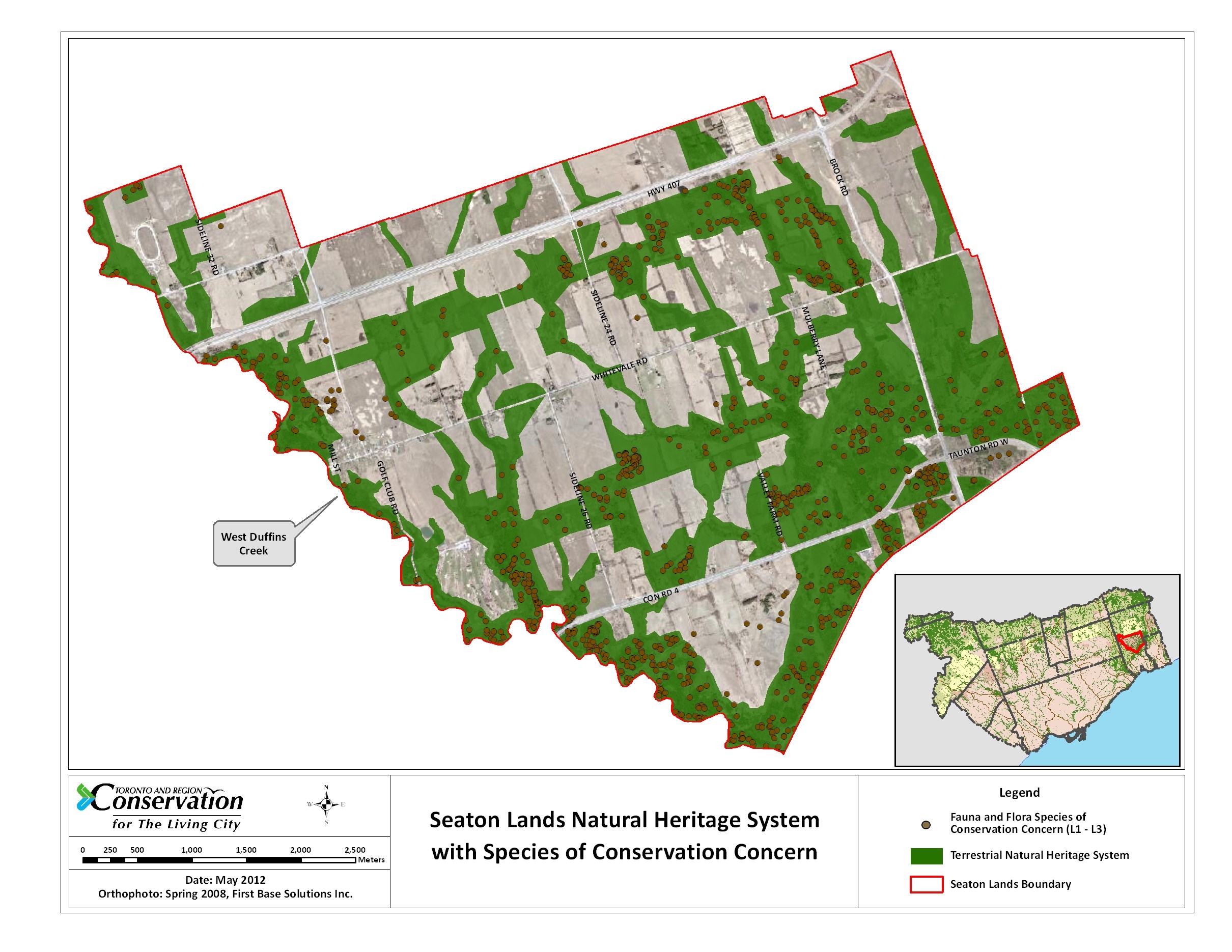
TRCA, along with its partners, have applied the ranking and scoring of species and communities at different landscape scales. For example, at the regional scale it has been used to help define the Terrestrial Natural Heritage System Strategy Targets and aid in the creation of Recovery Plans for Species and Communities.
 Watershed-wide it is used in the development of watershed plans and report cards as well as natural heritage system planning for larger municipal official plans or secondary block plans. This information is also used extensively at the site scale in land management (e.g. trail planning, setting restoration priorities) and identifying site development limits and buffers.
This local ranking and scoring approach is just one methodology TRCA employs in keeping our finger on the pulse of the natural heritage system we are responsible for managing and protecting.
Access the ranks and scores online! The entire list of flora, fauna and vegetation community ranks and scores are officially updated annually from the data collected by TRCA and can be accessed from TRCA’s Environmental Monitoring and Data Management resource library. Also available in the resource library are regional biological inventories of habitats and species that help inform the species / communities ranks and scores.
Monitoring Matters! Through scientific data collection, TRCA’s Environmental Monitoring and Data Management team tell the stories about the changes affecting the natural areas and watercourses within our regions. For more information, please visit our website, follow us on Twitter, subscribe to our Monitoring Matters e-newsletter, or visit our YouTube playlist.

