The Rouge River watershed is within the eastern portion of Toronto and Region Conservation Authority’s (TRCA) jurisdiction, covering 33,926 ha, and is home to approximately 445,000 people. It contains Canada’s first national urban park, Rouge National Urban Park.
Rouge River Watershed Plan
TRCA is in the process of developing a new watershed plan for the Rouge River that will use the latest science and data to inform municipal land use and infrastructure planning.
Explore the Watershed
Explore the quick links and map below to learn more about the Rouge River watershed:

Cultural Heritage
The Rouge River watershed holds deep cultural significance, with a history of Indigenous presence dating back over 10,000 years.
It is home to ancient trade and travel routes used by First Nations, including the eastern branch of the Toronto Carrying Place Trail, a critical link between Lake Ontario and the northern Great Lakes.
The watershed also contains important archaeological sites, such as ancient village locations and burial grounds, which reflect the long-standing relationships Indigenous peoples have with this land.
Early European settlement is also visible through 19th-century farmsteads, mills, and historic roads that still shape parts of the landscape today.
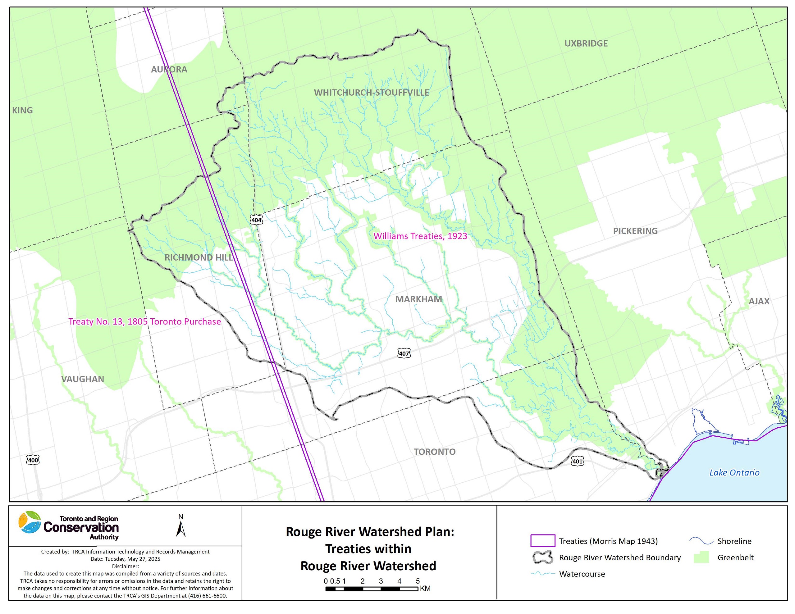
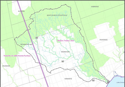
The Rouge River watershed is covered by:
- Treaty 13 (Toronto Purchase, 1805) signed with the Mississaugas of the Credit First Nation (an Anishinaabe First Nation)
- The Williams Treaties, 1923, signed with the Williams Treaties First Nations, comprising the Anishinaabe Chippewa of Simcoe (including Beausoleil, Georgina Island, and Rama First Nations) and the Anishinaabe Mississauga (Michi Saagiig) of the north shore of Lake Ontario (including Alderville, Curve Lake, Hiawatha, and Mississaugas of Scugog Island First Nations)
The lands and waters are also the Traditional Territory of the Huron-Wendat, and are now home to many diverse First Nations, Inuit, and Métis peoples.
Through work with lands and waters, TRCA appreciates and respects the history and diversity of these lands and is grateful to have the opportunity to work and be in relation with this territory. We are also grateful for the continued work of many First Nations and Indigenous peoples, who are the original and current caretakers of these lands and waters. We humbly acknowledge our responsibility to respect First Nations’ rights and Indigenous perspectives, elevate Indigenous voices, and honour our relationship with First Nations and Indigenous peoples.
Land Use & Climate
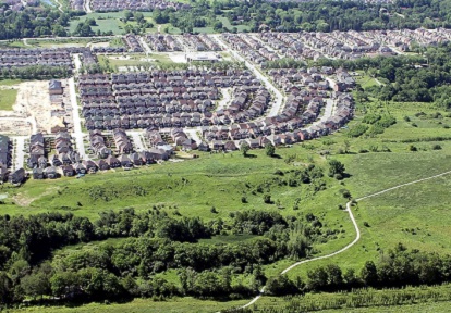
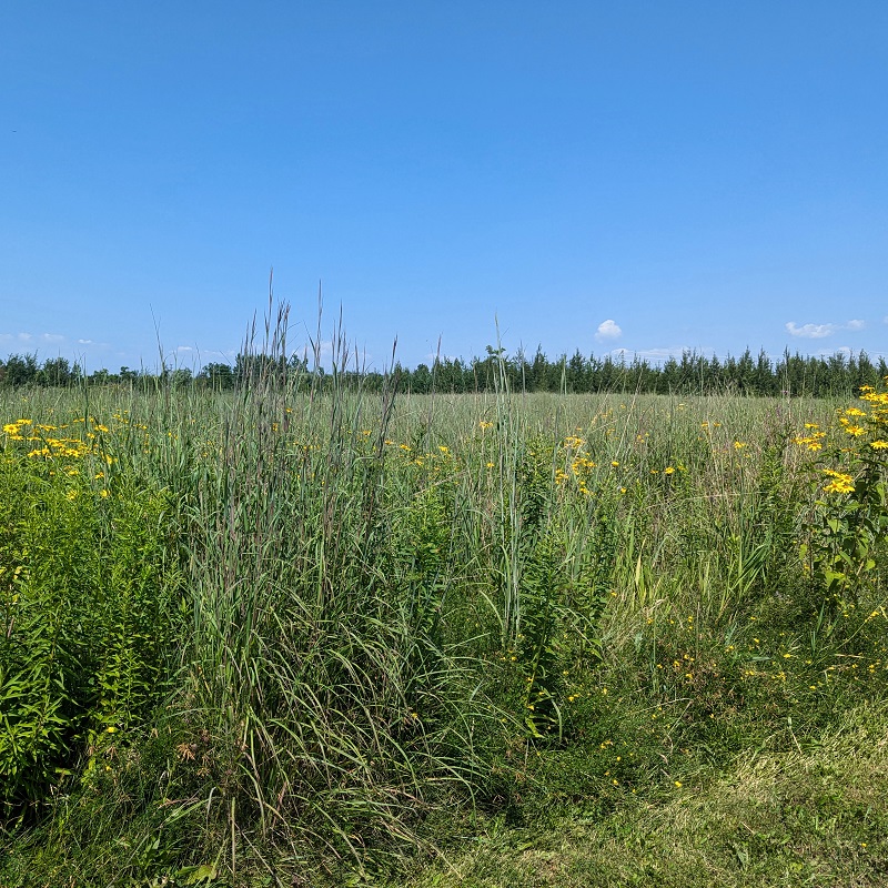
The Rouge River watershed is constantly changing, as natural and rural areas are turned into urban spaces, such as buildings and parking lots.
If these areas are not built sustainably, it can harm the watershed by impacting water flow, soil conditions, and biodiversity.

As more people move into the watershed, it is important to find ways to support the growing population while also protecting nature and the benefits it provides.
This can be done by creating communities that protect important farmland and natural areas. It can also involve planning urban areas that are walkable, have access to public transit, are energy-efficient, and include stormwater controls and green infrastructure.
KEY CHARACTERISTICS
- AREA: The watershed covers a drainage area of approximately 33,926 hectares. It includes seven subwatersheds: Upper Rouge, Middle Rouge/Beaver Creek, Berczy/Bruce Creek, Robinson/Mount Joy Creek, Upper Little Rouge, Lower Little Rouge, and Lower Rouge.
- POPULATION: 445,398 (2024 Census)
- LAND USE: The watershed is approximately 36% urban, 38% rural, and 26% natural as of 2023, and the pressure to develop continues to grow.
- IMPERVIOUS COVER: The overall impervious cover for the watershed is 29%.
- More to come following the Rouge River Watershed Plan characterization stage.
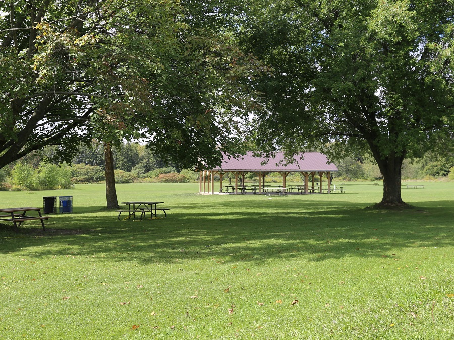
CONSERVATION AREAS AND PARKS
CLIMATE
Climate change impacts are being seen and felt locally in TRCA’s jurisdiction. Extreme heat and heavy rains are leading to more heat advisories and flooding, which affect the health and safety of the watershed and its residents.
These impacts will get worse unless we act to reduce the effects of greenhouse gas emissions. We also need to find ways to help our watersheds and communities better handle the effects of climate change.
Climate trends in the Toronto region are based on an analysis of climate parameters for the historical climate period between 1971 to 2000, and include:
- Temperatures are projected to increase across all seasons throughout the year.
- The number of very hot days above 30°C and 35°C are expected to increase.
- Very cold days below -10°C and -20°C are expected to decrease.
- Total annual precipitation is expected to increase.
- More frequent and intense storms are expected to occur.
Natural Hazards
As our climate changes, storms are becoming more frequent and intense. This increases the risk of flooding and erosion, especially in areas affected by urbanization and land use changes.
Currently, there are two Flood Vulnerable Clusters in the Rouge River watershed covering about 198 hectares or about 0.6% of the watershed area. These clusters are in floodplains where roads and structures are at greater risk of flooding and damage.
Is your home or community in a flood risk area?
USE TRCA’s MAP VIEWER TO FIND OUT.
FLOOD CONTROL INFRASTRUCTURE
If you live downstream of a TRCA flood control dam, you are part of a community safeguarded by flood control infrastructure.
Flood control dams are essential in protecting communities during heavy rainfalls and flooding.
One example is Milne Dam. Located in the southern part of the City of Markham within Milne Park, and managed by TRCA, it protects communities along the Rouge River.
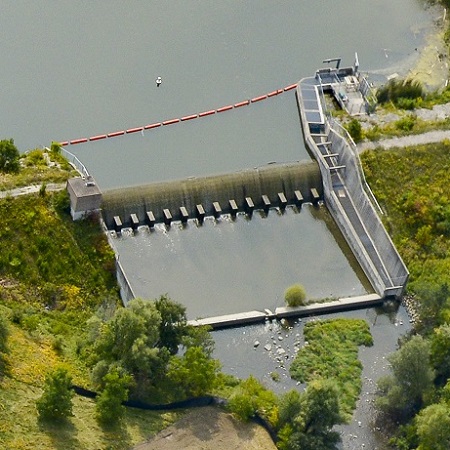
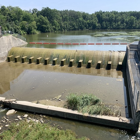
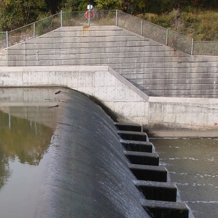
Milne Dam
Living Downstream of Milne Dam: Flood Safety
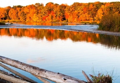
Natural Heritage
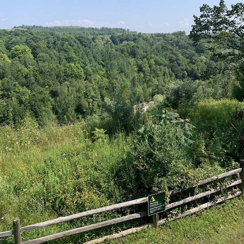
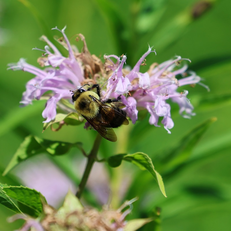
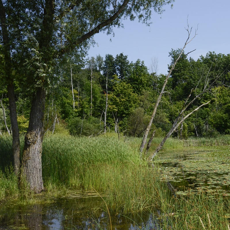
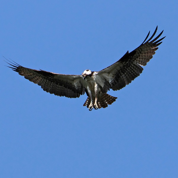
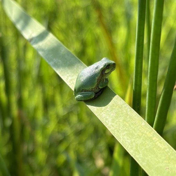
The Rouge River watershed has a rich natural heritage. This includes a well-connected system of natural areas like forests and meadows that provide homes and movement corridors to wildlife and plants.
In addition, urban forests are important for supporting healthy natural heritage in the watershed.
An important natural heritage feature within the Rouge River watershed is Rouge National Urban Park.
Formally established on May 15, 2015 as Canada’s first national urban park, it is managed by Parks Canada and spans over 79 km2, making it the largest urban park in North America.
A healthy natural heritage system that can resist harmful changes and recover from damage is important for the health and safety of ecosystems and people.
It helps to reduce the impacts of changing land use and climate, supports different types of plants and animals, and offers many services to people, such as better protection from floods and erosion, clean drinking water and air, and more opportunities for recreation.
In the Rouge River watershed, the conditions of the natural heritage system and the urban forest vary by location.
Some areas (like the Upper Little Rouge subwatershed) have a good amount of healthy natural areas, but the potential loss of natural cover and climate change impacts are big concerns in the watershed.
Other areas that are more urbanized (like Middle Rouge/Beaver Creek subwatershed) generally have less natural cover and are of poorer quality.
KEY CHARACTERISTICS
- NATURAL COVER: Approximately 24% of the Rouge River watershed is covered by natural areas. Many of these are important for habitat connectivity and wildlife movements. Due to land use and climate impacts, we are seeing an overall loss of natural features such as forests, meadows, and wetlands.
- More to come following the Rouge River Watershed Plan characterization stage.
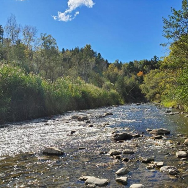
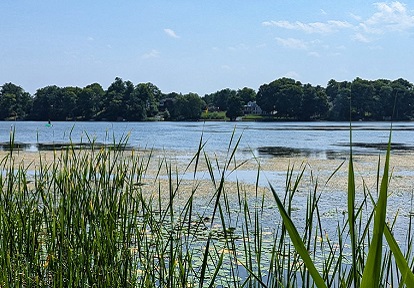
Water Resources
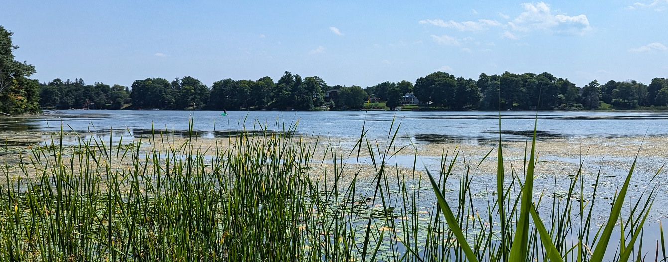
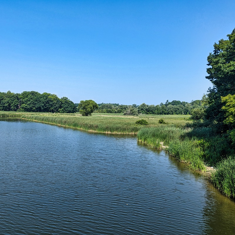
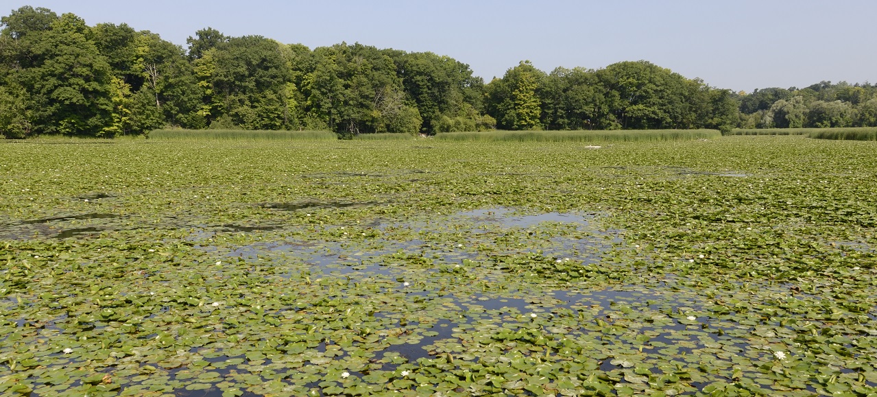
The water resources in the Rouge River watershed are made up of an interconnected system of groundwater and surface water.
This includes streams, rivers, lakes, and wetlands, as well as underground aquifers and areas that help replenish them.
It also includes water-related processes and functions, like the flow of water above and underground.
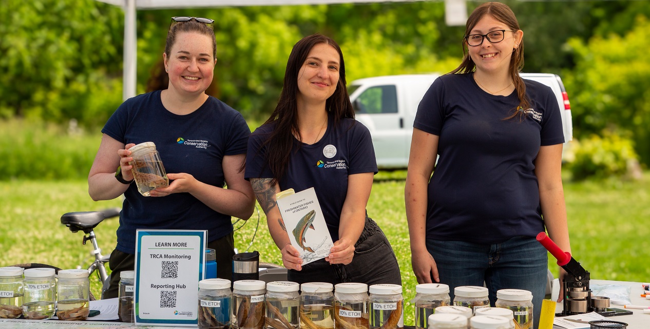
The water resource system provides homes to various fish species and insects, which are important for the health of the ecosystem.
A healthy water resource system helps keep our watersheds safe and resilient. It provides key services to our communities, such as storing water to reduce flooding, filtering water to keep it clean, and providing habitats for wildlife, such as fish, that in turn support recreational activities.
In the Rouge River watershed, the condition of the water resource system varies.
More natural areas in the Upper Little Rouge subwatershed are in better shape, while more urbanized areas in the Middle Rouge/Beaver Creek subwatershed are in worse condition.
KEY CHARACTERISTICS
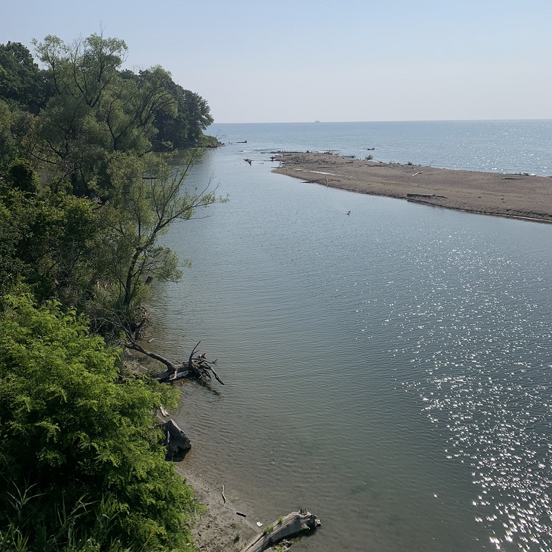
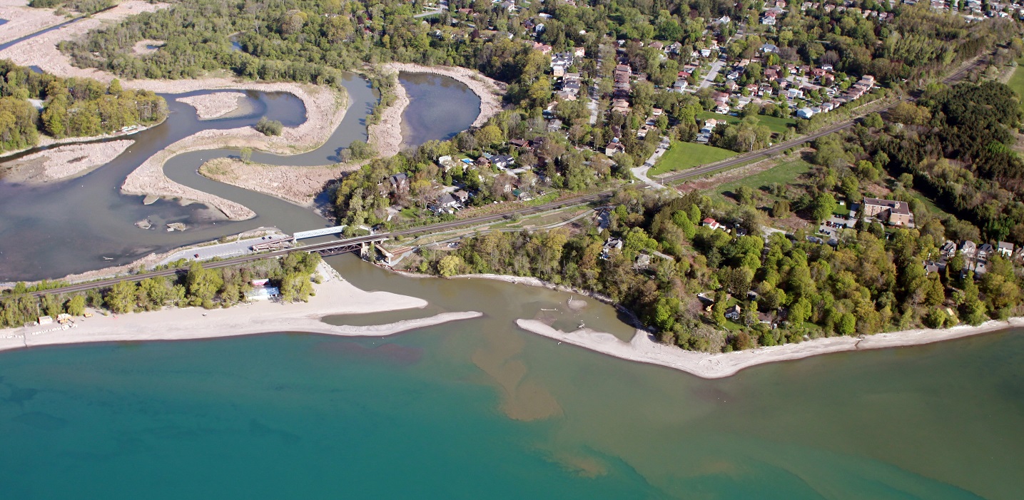
- SOURCE WATER: The Rouge River starts in the Oak Ridges Moraine, within the Greenbelt, and flows for 59 kilometers before reaching Lake Ontario.
- FEATURES & AREAS: The Rouge River watershed has approximately 516 km of regulated rivers and streams, 1,713 ha of inland lakes, including kettle lakes, as well as important groundwater areas such as Significant Groundwater Recharge Areas (12,994 ha) and Highly Vulnerable Aquifers (14,094 ha).
- More to come following the Rouge River Watershed Plan characterization stage.
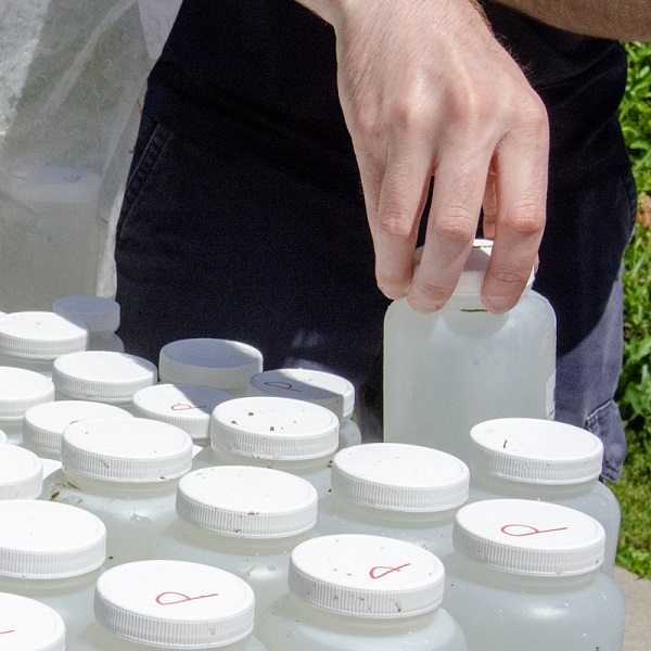
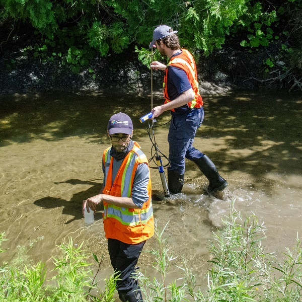
Water Quality
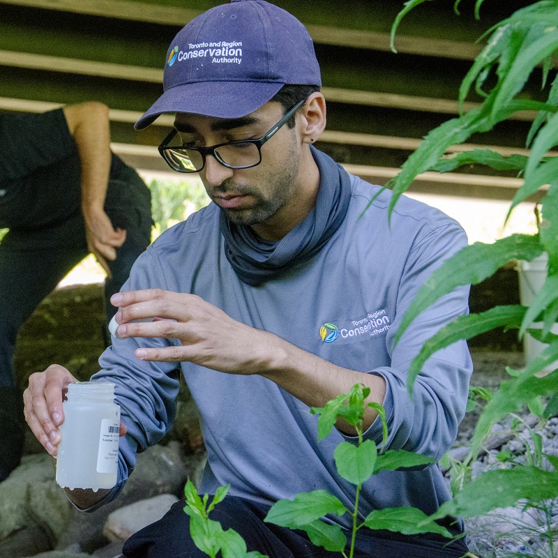
Clean water is critical for the health and safety of a watershed, its residents, and ecosystems. We need it for drinking, household use, and recreation activities such as swimming and fishing.
Clean water is also important for economic activities such as agriculture and manufacturing.
As climate and land use changes, the water quality in the Rouge River watershed changes as well.
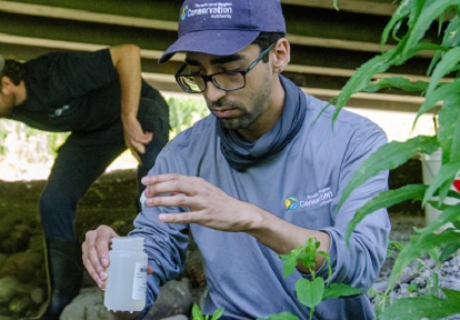
By monitoring water quality over time and in different areas, we can identify issues and their causes and find ways to fix them.
KEY CHARACTERISTICS
- More to come following the Rouge River Watershed Plan characterization stage.
Resources
Watershed Report Cards
Learn More


Get Involved
Check out the TRCA calendar to learn about events near you, such as public plantings, educational presentations, nature walks, and more!
Visit TRCA’s Get Involved webpage to find something that interests you!
Contact
Questions about the Rouge River watershed? Contact rouge@trca.ca.