Next to Morningside and Ellesmere, you’ll find Morningside Park—a 596-acre stretch of wilderness tucked away in a highly urbanized area. Here Highland Creek winds its way through an expanse of mature trees, along footpaths and naturally eroded cliffs.
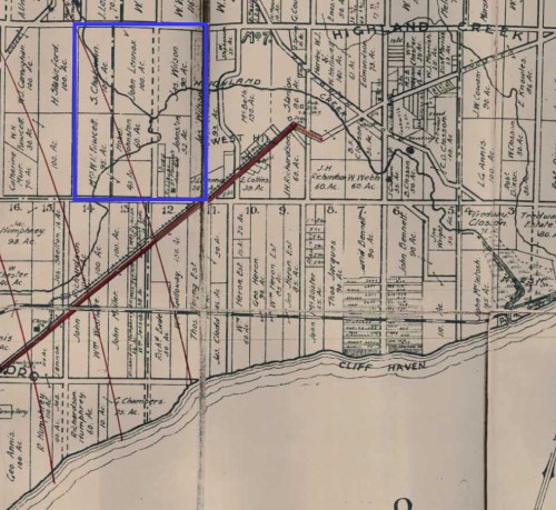
After the Second World War, a housing shortage led many people to move outwards towards the suburbs. Small cottages in the Highland Creek area were converted into year-round residences, in particular in the Willows area (north-east of Lawrence and Orton Park Road) and the Highland Creek Valley south of Highway 401. The western end of the present-day park also housed Camp of the Crooked Creek, which belonged to the Toronto District of the Boy Scouts Association.
The boom of new residents put a strain on the cottage land, which wasn’t designed for year-round habitation. The steep slopes and flat flood plain of Highland Creek valley also meant that flash flooding was a constant threat, as were the threats of contaminated wells and nearby erosion.
In 1954, Hurricane Hazel hit Toronto with a severity that is still unmatched to this day. Catastrophic damage and loss of life from the event led to the expansion of TRCA’s responsibilities to include flood control and granted TRCA the ability to acquire lands for recreation and conservation purposes to prevent further development on flood plain land.
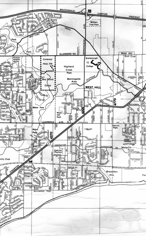
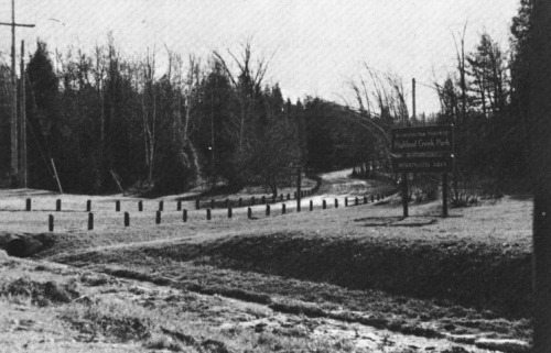
Severe damage from Hurricane Hazel led to the removal of housing in the Highland Creek valley area and the land was protected from any future developments being built. In the 1960s, city-owned Highland Creek Park and adjacent TRCA-owned property to the west were merged to form the present day Morningside Park.
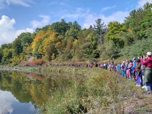
Today, Morningside Park offers visitors hundreds of acres of picturesque woodland, meadow, marsh, sheer cliff and rugged hillside—all hidden within its urbanized surroundings. The park holds a designation by both the TRCA and City of Toronto as an Environmentally Significant Area (ESA). It’s also home to the largest remaining forest block within the Highland Creek watershed, the site of TRCA’s annual Salmon Festival at Highland Creek, and provides a high-quality habitat for a range of wildlife and regionally rare plant species.